Mapping Mall World
- Creator
- Not recorded
- Source
- r/TheMallWorld — live
- Posted
- Unknown
- Archived
- 2026-07-23
- Medium, as stated
- Not stated
- Locations
- The Airport The Mall The School The Toy Store The Zoo
- Tags
- black-and-white, illustration
- Permission
- opt-out
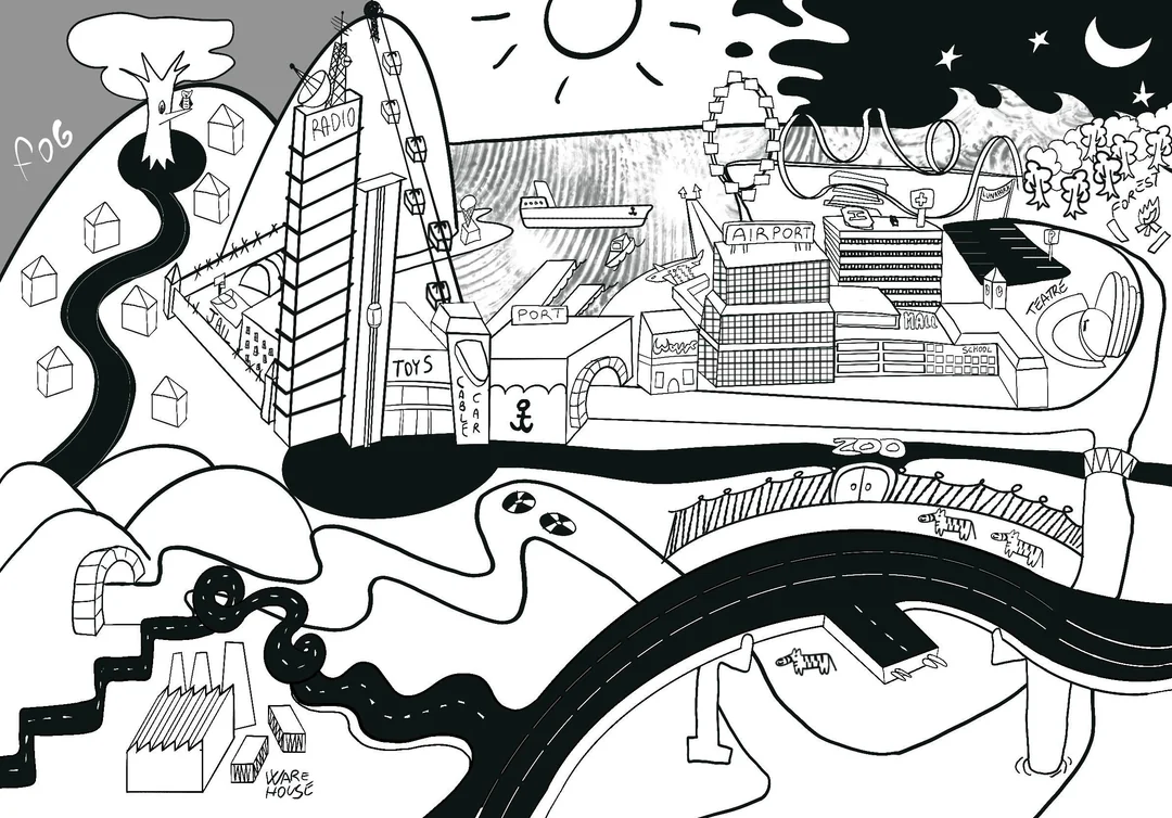
A high-contrast black-and-white illustration in a cartoon style rather than a plan view. Labeled places include the Mall, an Airport, a School, a Zoo, a Port, a Jail, a Radio tower, a Toys building, a Cable Car, a "Teatre," and a Warehouse district, with a ferris wheel and rollercoaster on the waterfront. The sky is split between day and night across the top of the image, with fog rolling in at the left edge.
This map belongs to its creator. It is indexed here with a local copy for preservation; the original post is the authoritative source: view it on r/TheMallWorld.